Azure Orbital Ground Station, Networking, Thought leadership
Azure Orbital Ground Station as Service extends life and reduces costs for satellite operators
Posted on
2 min read

How can Microsoft empower satellite operators to focus on their mission and enable them to continue the operation of their satellites, without making capital investments in their ground infrastructure?
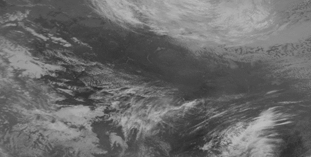
To answer that question, Microsoft worked alongside the National Oceanic and Atmospheric Administration (NOAA), and our partner Xplore, to demonstrate how the commercial cloud can provide satellite mission management for NOAA’s legacy polar satellites (NOAA-18)—extending the mission life of these satellites while reducing the cost of operation through Azure Orbital Ground Station as-a-Service (GSaaS).
Partnering with the National Oceanic and Atmospheric Administration and Xplore
The initiative was part of a year-long cooperative research and development agreement (CRADA) with NOAA, where we worked together to determine the ability of the Azure Orbital platform to connect and downlink data from NOAA satellites. NOAA also tested the ability of Microsoft Azure to comply with specified security controls in a rapid and effective manner. Our cloud-based solutions performed successfully across all measures.
Partners are central to Microsoft’s approach to space, and they played a key role in this project. As part of the CRADA, we leveraged our partner network to bring together Azure Orbital with Xplore’s Major Tom mission control software platform. This approach enabled NOAA to transmit commands to the NOAA-18 spacecraft and verify the receipt of these commands. This test was conducted in real-time, and data was flowing bi-directionally with the NOAA-18 satellite.
Commercial technology enabled the rapid demonstration of these innovative capabilities. Xplore was able to move quickly to bring functions of NOAA’s heritage space system architecture to the Azure cloud through their Major Tom platform. This highlights the power of Azure as a platform to bring together Azure Orbital as the ground station, Major Tom to provide the mission control software for commanding and telemetry viewing, and the NOAA operators to monitor the scenarios.
This successful demonstration shows that the Azure Orbital GSaaS, and the partner network it brings together, enables sustainable outcomes for satellite operators. Our work with NOAA is just the beginning of the journey. We look forward to partnering with additional satellite operators to help them reduce their infrastructure management costs, lower latency, increase capacity and resiliency, and empower their missions through the power of Azure Orbital GSaaS and the Azure cloud.
Learn more about Azure Orbital and Azure Space
To learn more about Azure Orbital GSaaS, visit our product page, or take a look at the session with Microsoft Mechanics, which goes into more detail on how we connect space satellites around the world and bring earth observational data into Azure for analytics via Microsoft and partner ground stations. We demonstrate how it works and how it fits into Microsoft’s strategy with Azure Space to bring cloud connectivity everywhere on earth and to make space satellite data accessible for everyday use cases.
More broadly, Azure Space marks the convergence between global satellite constellations and the cloud. As the two join together, our purpose is to bring cloud connectivity to even the most remote corners of the earth, connect to satellites, and harness the vast amount of data collected from space. This can help solve both long-term trending issues affecting the earth like climate change, or short-term real-time issues such as connected agriculture, monitoring and controlling wildfires, or identifying supply chain bottlenecks.
Learn more about Azure Space today.